Ancient Maps That Still Challenge Experts
Advertisements
To study old maps It goes far beyond admiring elegant calligraphy or sea monsters drawn on yellowed parchment.
There is something deeply unsettling when we come across cartographic records that depict territorial outlines centuries before their official exploration.
This is a contradiction that traditional historiography still struggles to absorb without resorting to explanatory acrobatics.
Modern cartography prides itself on the surgical precision offered by orbiting satellites and laser scanning.
However, this technological dependence makes us forget the intellectual sophistication of the past.
Certain centuries-old collections reveal that the ancient world may not have been as disconnected as textbooks often suggest.
Deciphering these codes requires abandoning the Eurocentric view of history.
Below is a critical investigation into cartographic documents that continue to challenge academic consensus and expose gaps in our official chronology of navigation.
Summary
- What makes these historical documents so enigmatic?
- What are the most intriguing secular cartograms in history?
- How did Piri Reis' map accurately depict South America?
- Who designed the most advanced map projections of antiquity?
- Comparative table of the main cartographic artifacts.
- Where are current researchers looking for answers to these mysteries?
- Frequently Asked Questions (FAQ)
- Conclusion
What makes these historical documents so enigmatic?
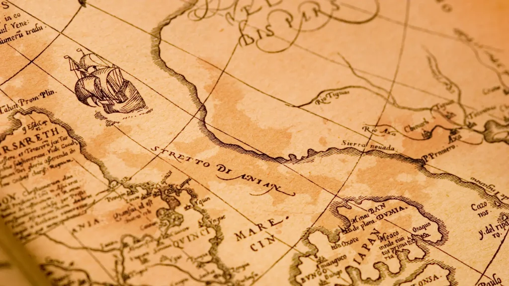
Projecting a three-dimensional sphere onto a flat surface has never been a trivial task.
In antiquity and the Middle Ages, this required an almost mystical combination of rigorous astronomical observation, pure trigonometry, and accounts from sailors who depended on the wind for survival.
The real anomaly arises when we compare certain geographical maps with the official chronology of the voyages of discovery.
Entire coastlines appear delineated with correct proportions at times when, according to official records, no known ship had sailed those waters.
Modern science has tried for years to classify these details as mere coincidences or elaborate frauds.
However, spectrometry and radiocarbon dating tests on the inks and parchment supports have proven that the documents are indisputably authentic, pushing the debate to a fascinating impasse.
What are the most intriguing secular cartograms in history?
Fra Mauro's Mappa Mundi, completed in 1459 on the serene island of Murano, breaks with medieval norms by orienting the South at the top of the image.
He depicts the southern tip of the African continent with a disturbing level of detail, almost four decades before Vasco da Gama rounded the Cape of Good Hope.
The Cantino Planisphere, dated 1502, bears the mark of Renaissance espionage.
Smuggled from Lisbon to the Duchy of Ferrara, the map reveals how the Portuguese Crown kept its knowledge of the currents and geography of the South Atlantic under strict state secrecy.
Another key piece is the Waldseemüller map, published in 1507.
He not only named "America," but he accurately mapped the coastline of the Pacific Ocean years before any documented European had laid eyes on that sea.
How did Piri Reis' map accurately depict South America?
Discovered by chance in 1929 on the dusty shelves of Topkapi Palace, the fragment drawn by the Ottoman admiral Piri Reis in 1513 remains the most emblematic case of this category.
The admiral himself noted on the margin of the gazelle hide that he used more than twenty ancient maps as sources, including lost charts from the Library of Alexandria and records confiscated from Spanish navigators.
The Brazilian coastline and the outline of South America emerge with a longitudinal precision that 16th-century European technology theoretically could not consistently calculate.
To verify the documentary collection and technical analysis of the piece, researchers consult the collection maintained by Library of Congress of the United States, where comparative portolan charts help to map the Ottoman geographic reach.
The most widely accepted explanation in academic circles points to a brilliant synthesis maintained by sailors within the Islamic ecosystem.
They preserved and improved Greek mathematics while Europe was going through the collapse of classical knowledge after the fall of Rome.
Who designed the most advanced map projections of antiquity?
It was in Alexandria in the 2nd century that Claudius Ptolemy structured the concept of geographic coordinates.
He used latitude and longitude to organize the ecumene — the known world.
His mathematical approach transformed geography from a descriptive narrative into a measurable science. Centuries later, this legacy found fertile ground in the Islamic world.
In the cosmopolitan court of King Roger II of Sicily, the Arab geographer Al-Idrisi produced in 1154 the Tabula Rogeriana.
This is a monumental compilation that combined data from Eastern merchants, astronomical observations, and Greco-Roman traditions.
The systematic study of old maps This confirms that cartographic knowledge has never been linear.
He operated within fluid networks of cultural exchange, where Arabs, Chinese, Normans, and Byzantines traded nautical secrets far from the spotlight of traditional historiographical records.
Comparative table of the main cartographic artifacts.
| Map Name | Year of Creation | Author / Origin | Key Feature |
| Tabula Rogeriana | 1154 | Al-Idrisi (Sicily/Arabs) | Synthesis of Greek and Islamic geographical knowledge |
| Fra Mauro | 1459 | Fra Mauro (Venice) | Orientation towards the South and early detailing of Africa. |
| Waldseemüller | 1507 | Martin Waldseemüller (Germany) | First printed record to use the word "America"“ |
| Piri Reis | 1513 | Piri Reis (Ottoman Empire) | Accuracy in American coastlines and ancient cartographic sources |
| Cantino Planisphere | 1502 | Anonymous (Portugal/Italy) | Early representation of the South American and Caribbean coastline |
Where are current researchers looking for answers to these mysteries?
The investigation of these artifacts has changed dramatically in recent years.
Instead of magnifying glasses and direct handling, laboratories today use infrared reflectography and X-ray fluorescence analysis to see through pigments and reveal original sketches erased centuries ago.
Meanwhile, historians' focus shifted from royal archives to the accounting records of private merchant companies.
It is in these unassuming business letters that clues about secret maritime routes often emerge, routes kept off official maps to avoid competition and piracy.
International initiatives focused on document preservation, such as the division of UNESCO on Documentary Cultural Heritage, they drive the high-resolution digital scanning of these materials.
This universal access allows experts to cross-reference geographic data instantly, testing hypotheses that previously took decades to validate.
Frequently Asked Questions (FAQ)
Why does the Piri Reis map generate so much controversy?
It combines elements of high technical precision with dating that predates the official mapping of vast regions of the South Atlantic.
The debate revolves around the ancient sources that the admiral claimed to have consulted in order to draft the document.
How does modern technology aid in the study of ancient maps?
Non-invasive optical methods reveal underlying layers of ink, scraped annotations, and flaws in the parchment support.
This allows you to determine the authenticity of the material and understand the manufacturing process without damaging the physical artifact.
Is it true that Antarctica is depicted on these maps?
There is no scientific basis for this hypothesis.
The landmasses depicted in the lower portion of these maps represent distortions of the American continent or a Terra Australis Incognita, a theoretical concept inherited from Greek geography about the planet's equilibrium.
Conclusion
To analyze old maps It is a continuous exercise in intellectual humility.
These relics prove that past societies possessed a much more developed navigational capacity and a global trade network than we usually admit.
With each new multispectral examination carried out in libraries and museums, details emerge that force us to rewrite sections of the history of earth sciences.
The answers to the gaps in historical cartography remain hidden in the folds of the parchments, waiting for new questions—and new technologies—to emerge.